
Green Health Routes
Our Green Health Routes project supported communities to connect with and get to know the parks, meadows and woodlands on their doorsteps. We ran health routes in Oxford, Gloucestershire, Wiltshire and Wales – you can see links to all of these routes at the bottom of the page. This particular project has come to an end, but we hope you feel inspired to create your own Green Health Route.
Each Green Health Route project begin with the creation of a neighbourhood map, developed in close consultation with communities, to highlight the area’s publicly accessible green space. The map identifies routes, which start in community hubs such as health centres or libraries, and ‘join the dots’ to the surrounding green spaces, creating walks of varying lengths that are suitable for adults and children. We include descriptions of each of the green spaces along the way and links to websites with more information on facilities, opening times and local wildlife.
These materials are widely distributed as leaflets and posters at community venues in the area, including GP surgeries and schools. They can also be downloaded from the route pages below. Some of our routes are promoted with permanent street signs.
The Green Health Routes projects also include nature engagement activities at schools or community venues. We run specialist wildlife walks and set up regular walking groups led by volunteers. Check the page for each of our health routes below to find out more.


Green social prescribing
Green Health Routes can help patients in accessing local green spaces as part of a healthy lifestyle, and our programme works closely with healthcare practitioners including GPs and social prescribing link workers. The maps, leaflets and the walking groups can be offered as part of a ‘green prescription’. Our maps are even available as prescription pads.
Medical research from around the world, collated by the University of Exeter, demonstrates how green prescribing can deliver physiological and psychological benefits for patients.
Green Health Routes involve several key partners:
- GPs and other health professionals recommend the walks to patients, display our Green Health Routes posters and leaflets at health centres, and may offer a meeting venue for walking groups – especially important in cold weather
- Schools and community groups host our nature engagement activities, take part in community walks, display Green Health Routes maps as signs or posters and distribute our leaflets to families
- Local councils advise on the routes, train volunteer walk leaders and promote and support our walking groups.

Where are our Green Health Routes?
Botley
Five walking routes connect Botley Library to parks, woodlands and meadows to the west of Oxford. The routes were developed in partnership with the social prescribing link worker at the local surgery and the district council. We set up a regular walking group and have run several wildlife walks.
Wood Farm, Oxford
In partnership with Age UK and other community organisations, we created a neighbourhood map that links Wood Farm Health Centre with a meadow, nature reserves and historic forest.
East Oxford
Working with several GP surgeries, we developed a series of routes that link East Oxford Health Centre with nearby green spaces. We also established a regular health walk from one of the surgeries in partnership with Oxford City Council’s Go Active programme, and ran nature activities in a primary school.
Marston, Oxford
Marston’s Green Health Route is easy to follow thanks to waymarker signs on lampposts. We distributed leaflets featuring the route map at local hubs and ran special themed walks and nature engagement workshops with local schools and a residential home.
Jericho, Oxford
Our Health Routes map was designed by local people and GPs, with routes that connect to the health centre. As well as the parks and green spaces within Jericho, one route includes a stretch of the canal towpath. Guided walks with three local schools were a great way to get more people involved. Two schools now have large signs featuring the map which is also available in interactive form online.
Blackbird Leys, Oxford
Four Green Health Routes in the area take walkers through Blackbird Leys Park, Fry’s Hill Park and Gillian’s Park.
Lodge Surgery, Chippenham, Wiltshire
The Lodge Surgery Health Routes include two peaceful walking routes which help residents and patients explore local parks and the surrounding countryside. Developed with one of the surgery’s GPs, community map is being used by health staff to encourage patients to be active in nature for their own health and wellbeing.
Ysbyty Gwynedd Hospital, Bangor
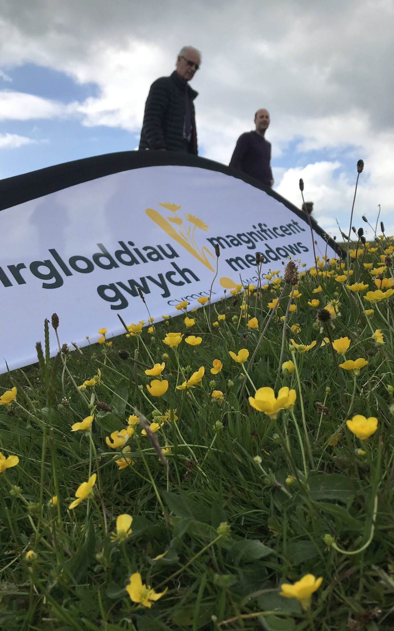
Our first Meadows Health and Wellbeing route runs from the general hospital in Bangor, Wales to meadows at Eithinog Nature Reserve, providing a 1.7 km walking route for hospital staff and patients. The route was devised with partners at Plantlife as part of Magnificent Meadows Cymru, a programme to restore over 500 hectares of wildflower meadows and grassland, while connecting communities to these environments for health and wellbeing.
Cardiff Meadows Health and Wellbeing Route
Our second Welsh Meadows Health and Wellbeing Route created two walking routes connecting the University Hospital of Wales in Cardiff to the meadows at Heath Park. Signs have been installed in the park with information on meadow creation and links to Plantlife’s Meadows’ Hub, which includes additional resources. This is a great opportunity to use nature as part of patient care while benefitting the health and wellbeing of NHS staff.